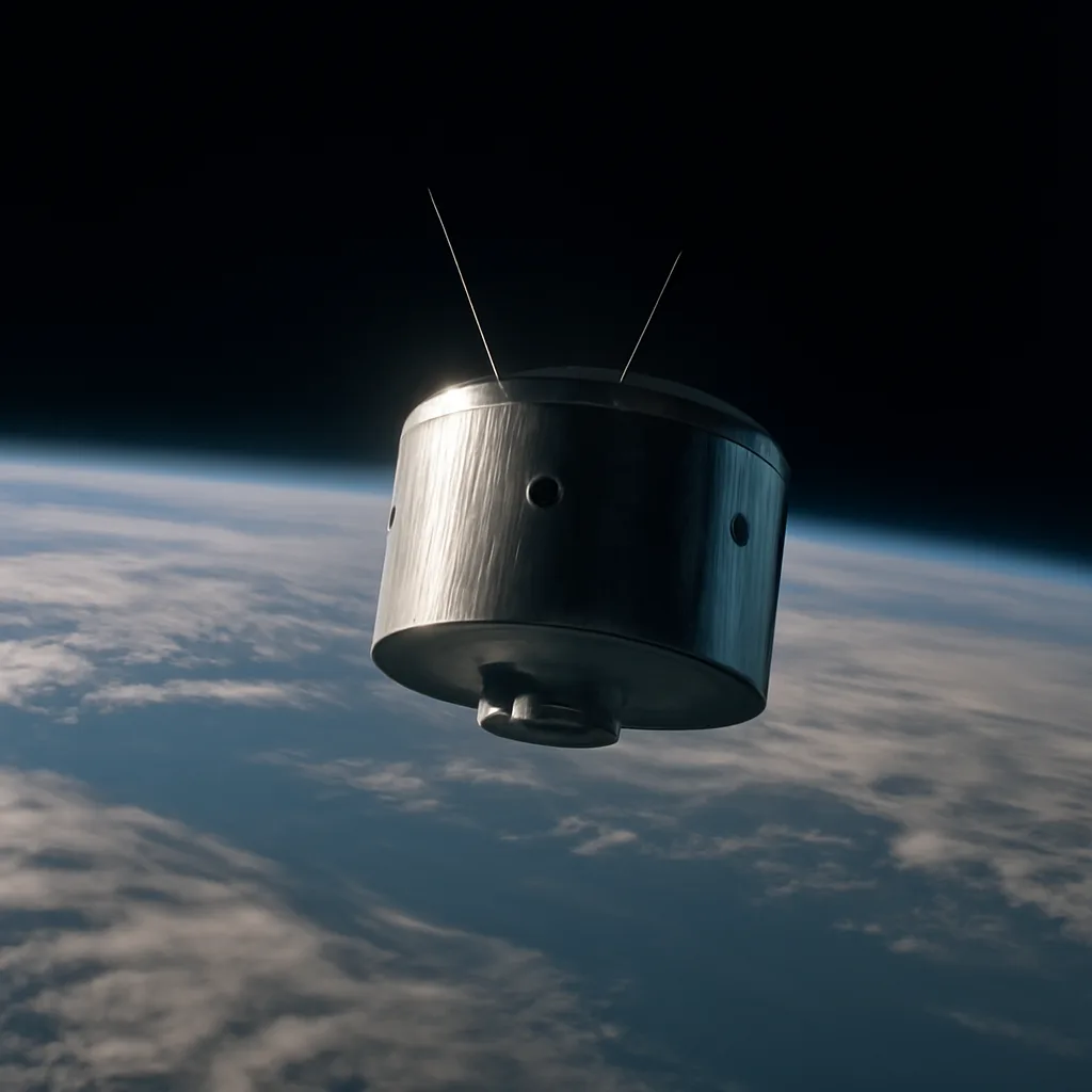
On February 1, 1960, the United States launched TIROS-1 (Television Infrared Observation Satellite), the first operational satellite dedicated to systematic observation of Earth’s weather from space. Built by the Army Ballistic Missile Agency and the Television and Infrared Observation Satellites program in cooperation with NASA, TIROS-1 demonstrated for the first time that low-Earth-orbiting satellites could provide useful cloud-cover images for meteorology. TIROS-1 was launched atop a Thor-Able rocket from Cape Canaveral, Florida. The 122-kilogram, drum-shaped satellite carried two small television cameras and several engineering experiments to test stabilization, thermal control, and communications. Once in a near-polar low Earth orbit, TIROS-1 transmitted its first television pictures of cloud cover over the United States and neighboring oceans, showing the broad-scale structure of weather systems. The images were of relatively low resolution by modern standards, but they were immediately valuable: meteorologists could, for the first time, see synoptic-scale cloud patterns from space and track the movement of storms between widely separated ground stations. TIROS-1’s early success resolved key technical questions about using satellites for weather observation, including the feasibility of stabilizing a satellite for clear imaging, transmitting data to Earth, and operating instruments in the space environment. The satellite’s limited lifetime—about 78 days of useful data—underscored both the fragility of early spacecraft and the need for a sustained program of weather satellites. Lessons from TIROS-1 informed the development of subsequent TIROS spacecraft and eventually the TIROS Operational System (TOS) and later geostationary and polar-orbiting weather satellite programs. Historically, TIROS-1 represents a turning point in meteorology and Earth observation. Prior to satellite imagery, weather analysis relied on ground-based observations, ships, and aircraft, which left large gaps—especially over oceans and polar regions. TIROS imagery filled many of those gaps, improving storm tracking, short-term forecasting, and the study of large-scale atmospheric phenomena. The program also accelerated international interest and cooperation in satellite meteorology, setting the stage for future operational systems run by government agencies worldwide. Although TIROS-1 was a technological milestone, it was not the very first satellite to return images of Earth; it followed earlier experimental spacecraft that tested imaging and reconnaissance concepts. TIROS-1’s significance lies in its focused mission and operational intent—to observe weather systematically—and its tangible, repeatedly demonstrated utility for meteorology. In succeeding years, satellite capabilities expanded rapidly: higher-resolution instruments, infrared sensors for day-night observation, polar and geostationary orbital platforms for continuous coverage, and integrated remote-sensing suites that monitor atmosphere, oceans, and land. The TIROS program’s success in 1960 catalyzed these advances and helped establish satellite meteorology as a core component of modern weather forecasting and climate observation. Sources for this summary include historical records from NASA and contemporary technical reports on the TIROS program. Where specific operational details or attributions are debated in archival accounts, this summary reports the broadly accepted facts: TIROS-1 launched on February 1, 1960; it carried television cameras; it produced the first widely used satellite cloud-cover imagery; and it operated for several months, proving the value of space-based weather observation.